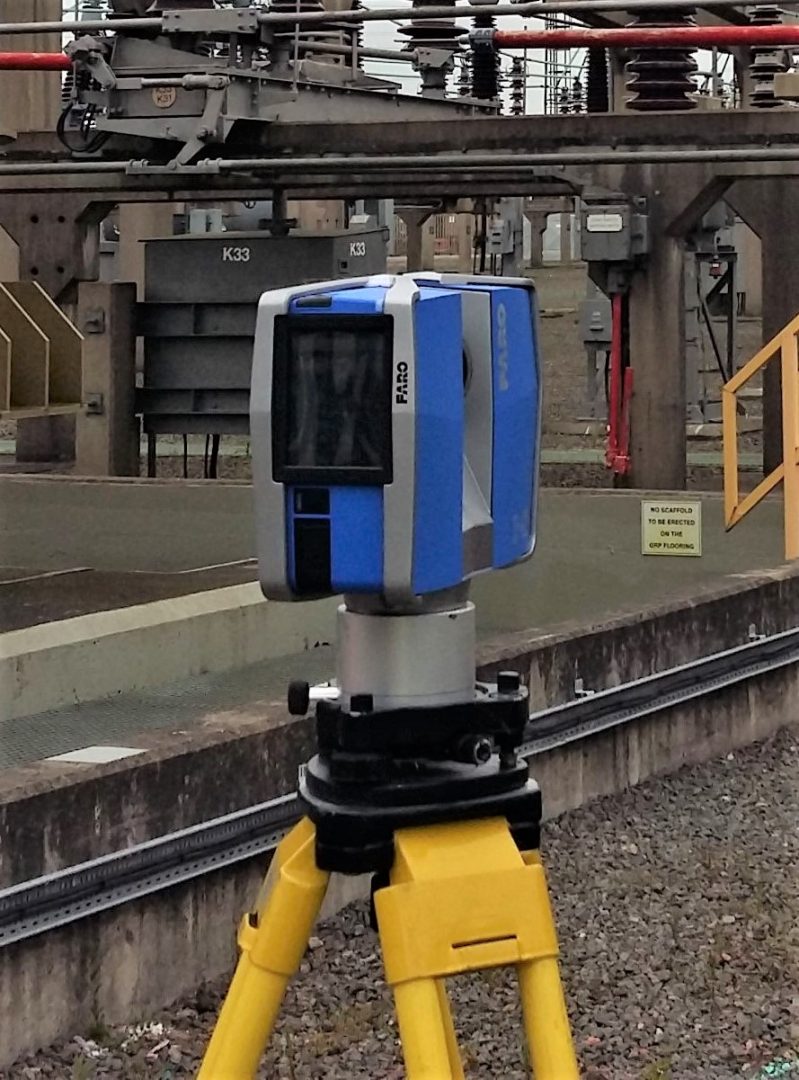
LASER SCANNERS
3d SurveyScan utilise Faro Focus Scanners which measure upwards of a half a million points per second of all visible surfaces within a range of 1 meter to 330 meters. Survey positions are later registered together using cutting edge world leading Faro Scene software.
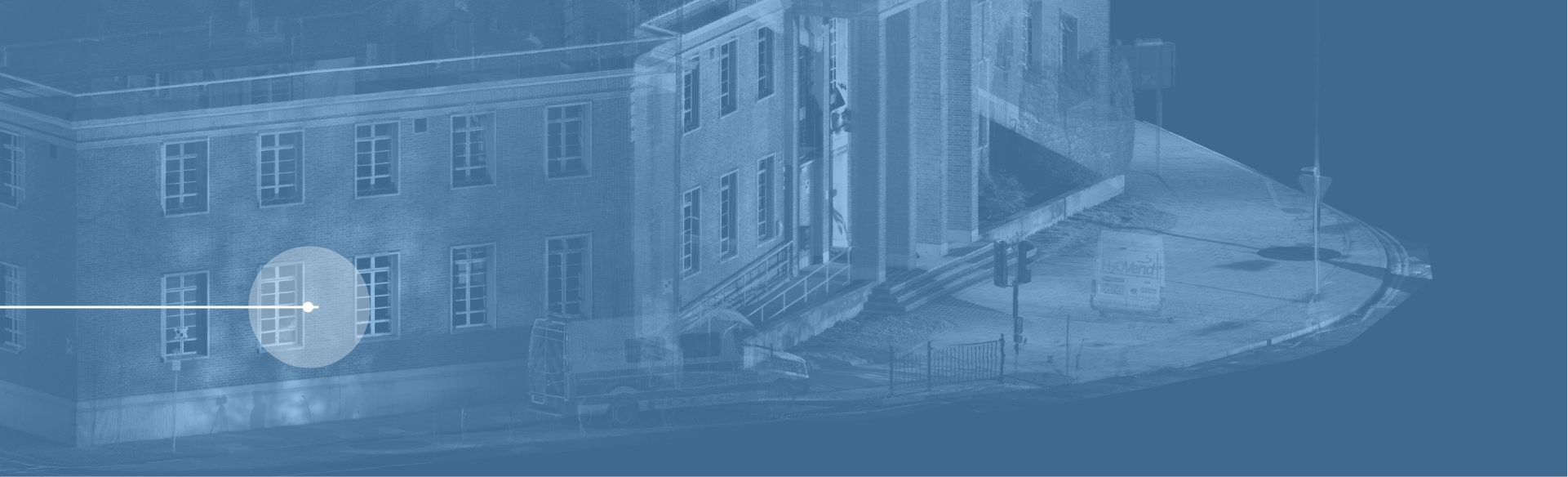
THE 3d SURVEY / POINT CLOUD
The resulting survey consists of what is referred to as a point cloud, a collection of measured points placed accurately within a 3d environment.
2d AND 3d DRAWINGS
The point cloud can be interrogated to produce plans, sections, elevations etc, that can be imported directly into a range of CAD drawing packages such as AutoCAD and Revit.